


NAIROBI, Kenya, May 3– The Ministry of Interior and National Administration (MINA) has identified 59 flood-prone areas across Tana River County as heavy rains continue to trigger rising river levels and widespread flooding across the country.
In a statement on Sunday, the ministry said the mapping exercise covers five sub-counties and follows recent alerts warning of increased flood risk linked to rising water levels in the Seven Forks Dam system.
“The Government has identified 59 areas facing the risk of flooding in Tana River’s five sub-counties,” MINA said.
From the assessment, the Tana Delta Sub-county accounts for the highest number of high-risk zones at 32 areas.
Tana River Sub-county follows with 10, Bangale Sub-county with 8, Tarasaa with 6, and Tana North with 3.
The government said the exercise is part of ongoing efforts to strengthen early warning systems and guide evacuation planning in vulnerable communities along the Lower Tana River basin.
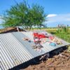
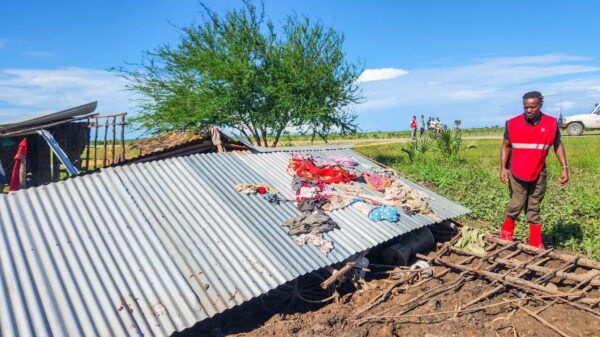
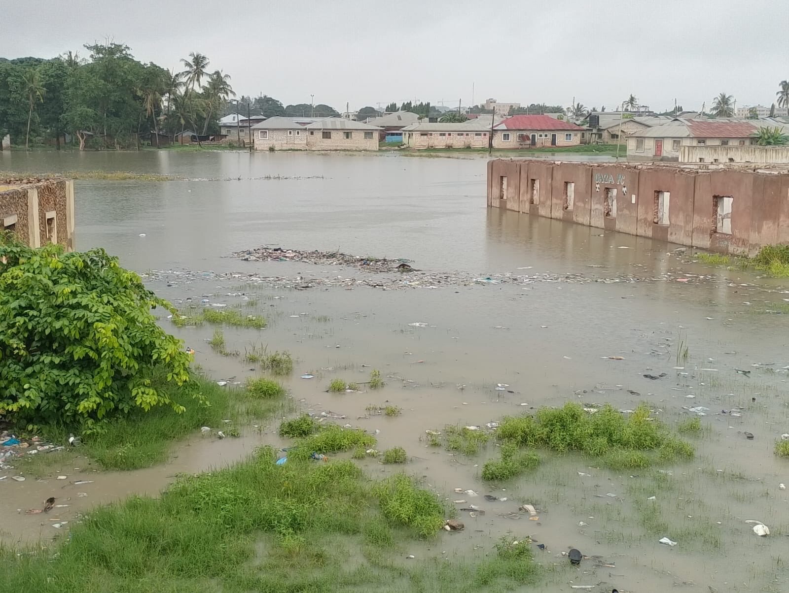
The mapping also reflects a broader pattern of flooding being experienced across multiple regions in the country as intense rainfall continues to disrupt livelihoods and infrastructure.
Nationwide impact
As of May 2, 2026, a total of 18 fatalities have been recorded nationwide, most of them linked to drowning, according to MINA.
Eastern region has recorded the highest number of deaths at nine, followed by the Central region with three, the Coast and Nairobi with two each, and the Rift Valley with two.
In Nairobi, floods have affected an estimated 6,600 people, displacing families and damaging roads, schools, and residential areas across several sub-counties.
Central Kenya counties, including Kirinyaga and Kiambu, have reported widespread flooding of homes and destruction of key infrastructure such as bridges and roads. In Mwea West alone, approximately 3,000 people have been displaced.
In Eastern region, Makueni County recorded the highest fatalities, with flash floods and mudslides also damaging homes and critical infrastructure, including roads and power lines.
In the Tana Delta, low-lying and flood-prone settlements include Feji, Kiembe, Halubha, Sera, Bwoka, Tsanankuu, Godhey, Dobaley, Abaganda, Salama, Ndera, Wema, Galili, Chira, Bilisa, Shirikisho, Kipini Division, Miliki, Majaliwa, Onido, Ndiponi, Kau, Kilelengwani, Kalota, Pungaupepo, Kidhanga, Diribu, Magogoni B, Kajisten, Ndimimbii, Ribe A, and Ozi Mtangani.
In Tana River Sub-county, affected areas include Masabubu, Rhoka, Kinakomba-Boji, Emmaus, Watta Hamesa, Vukoni, Mkomani, Bondeni, Laza-Makaburini, Makere, Bowa, Mbalambala, Mororo, Saka, Madogo, Tula, Ziwani, and Bulto Banta in Bangale Sub-county.
Other vulnerable locations include Bura, Chewele, and Hirimani in Tana North Sub-county, as well as Kipao, Ongonyo, Odole, Konemansa, Kigomo, and Manono in Tarasaa Sub-county.
MINA said the government, working with multi-agency response teams, continues to monitor the evolving situation and coordinate emergency response operations across affected regions.
Residents in flood-prone areas along the Coast, Northeastern, Highlands, Rift Valley, and Nairobi have been urged to remain on high alert and evacuate to higher ground when instructed by security authorities.