
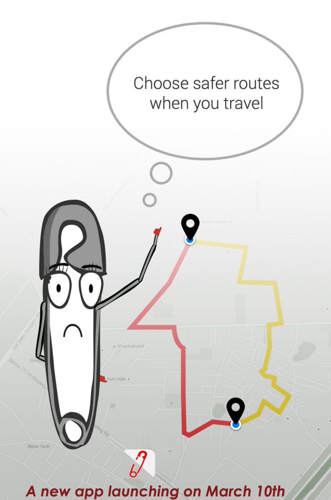
My SafetiPin is a personal safety app that helps you make safer decisions based on the safety score of an area.
Launched back in March 10 following International Women’s Day, My SafetiPin is making communities safer for individuals.
The app calculates the safety score of a place based on 9 parameters, and the contribution of users allows us to continuously update our algorithm to reflect how people feel in a place.
My SafetiPin collects primary data about public spaces at night, on a number of parameters.
• Lighting
• Visibility. Are there ‘eyes on the street’. Can others see you
• Diversity. Presence of women and children around
• Crowd. How densely crowded is the area
• Public Transport. How close it is
• Walk Path. Is there a proper place to walk
• Security. Are police or private security nearby
• Openness. Can you see all around
• Feeling. How safe do you feel
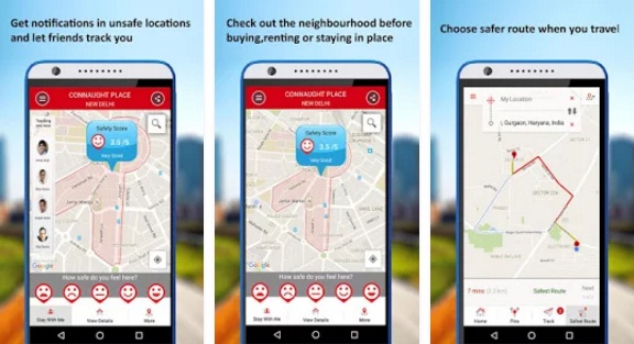
The app uses your GPS locator to give you safety information about your location. And uses GPS tracking to connect you with friends and family when you feel unsafe. It can also serve as a family locator.
Planning to out for the evening? Check how safe the neighbourhood is by touching the place on the map. You will see the safety score, for that area. Then select the safest route. The app will then transfer control to Google maps so you can reach your destination safely.
Check out the app here:
Android: https://goo.gl/kUCy9N & iOS: https://goo.gl/N2ihR5