


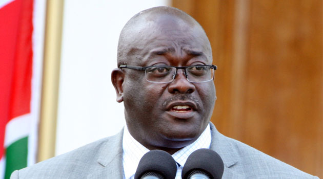


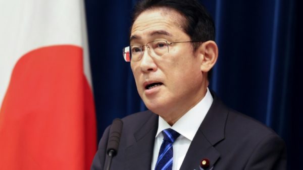


“This plan addresses regional imbalances, unguided urbanisation, encroachment into fragile ecosystems and untapped as well as underutilised resources,” Kaimenyi noted in his speech during the launch also attended by Cabinet Secretaries Raychelle Omamo (Defence), James Macharia (Transport and Infrastructure), Charles Keter (Energy and Petroleum), Willy Bett (Agriculture, Livestock and Fisheries) and Dan Kazungu (Mining)/COURTESY
NAIROBI, Kenya, Mar 1 – A National Spatial Structure (NSS) expected to guide physical planning in the country has been unveiled.
The structure which is contained in the National Spatial Plan (NSP) for the 2015-2045 period was launched on Wednesday by the Cabinet Secretary in the Ministry of Lands and Physical Planning (MOLPP) Jacob Kaimenyi.
Speaking during the launch, Kaimenyi said the blueprint will henceforth guide three areas of planning primarily based on the agro-climatic and agricultural potential of the country namely; rain-fed agricultural potential, irrigation agricultural potential and large scale commercial livestock production.
“This plan presents our national spatial vision which will guide the use and management of land and land-based resources above the earth and below it,” he said.
The plan, Kaimenyi added, “resonates very well with our constitutional provision and facilitates the attainment of national land policy principles of equity, productivity, efficiency and sustainability.”
The Cabinet Secretary also said the plan will seek to ensure guided urbanisation and full utilisation of the country’s spatial capacity.
“This plan addresses regional imbalances, unguided urbanisation, encroachment into fragile ecosystems and untapped as well as underutilised resources,” he noted in his speech during the launch also attended by Cabinet Secretaries Raychelle Omamo (Defence), James Macharia (Transport and Infrastructure), Charles Keter (Energy and Petroleum), Willy Bett (Agriculture, Livestock and Fisheries) and Dan Kazungu (Mining).

The NSP also sets guidelines for the identification and mapping of economic development potentials, provision of transport and trunk infrastructure, and sustainable exploitation of the natural environment/COURTESY
He pointed out the upsurge in the number of people thronging cities as alluded to in a World Bank report released in 2016 which also indicated that the number of people living in cities is expected to increase by 1.5 time by the year 2045, as the reason why the plan was crucial.
“Kenya like many other countries is experiencing rapid urbanisation and it is projected that by the year 2030, fifty per cent of our population will be residing in urban areas,” Kaimenyi observed while building a case on the need for reforms in the country’s physical planning regime.
The NSP also sets guidelines for the identification and mapping of economic development potentials, provision of transport and trunk infrastructure, and sustainable exploitation of the natural environment.
The spatial structure also takes into consideration other geographical landmarks and resources which include national parks, marine parks, conservation areas, forests and water bodies.
According to the plan, Nairobi, Mombasa, Kisumu and Lamu have been identified as National Growth Areas, with Isiolo and Lodwar marked as Future Growth Areas.

The plan also identifies other urban areas as Regional Growth Areas which are expected to spur the country’s development in future/COURTESY
The plan also identifies other urban areas as Regional Growth Areas which are expected to spur the country’s development in future.
They include Nakuru, Eldoret, Nyeri, Embu, Kisii, Kakamega and Kitale.
Factors behind the economic viability of the towns include proximity to transport corridors among them the LAPSSET highway, railway and pipeline as well as the standard gauge railway line.
Under the NPS, the country has been classified into four major regions which are: High Potential Rain-fed Agricultural zones, High Irrigation Agriculture and Livestock Potential zone, High Large-scale Livestock Production Potential zone and High Blue Economy Potential zone which is comprised of the Indian Ocean and other water bodies.
Also present during the launch was World Wide Fund (WFF) for nature’s Country Chief Executive Officer Mohamed Awer, Food and Agriculture Organization’s County Representative Gabriel Rugalema, MOLPP Principal Secretary Arch Mariamu elMaawy and National Land Commission Chairperson Muhammed Swazuri.