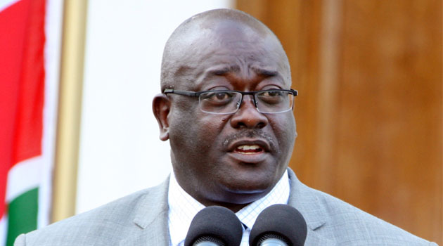
The Director of Survey Cesare Mbaria and Director of Physical Planning Augustine Masinde told the Senate lands committee chaired by Embu Senator Lenny Kivuti that the 5,000-acre technopolis is in Machakos County/file
The Director of Survey Cesare Mbaria and Director of Physical Planning Augustine Masinde told the Senate lands committee chaired by Embu Senator Lenny Kivuti that the 5,000-acre technopolis is in Machakos County.
This, however, was in contradiction to submissions by the Independent Electoral and Boundaries Commission (IEBC) which showed that Konza was in Makueni County.
“This question that we have presented to the Senate in respect of Makueni and Machakos is important because it not only determines what is the exact position of the law and whether or not the changes that were made were subsequently adopted in the Constitution or whether there appears to be a problem between legislation and the Constitution—anybody will tell you that the Constitution of Kenya prevails over an Act of Parliament,” said Mutula Junior.
In July this year, the Senate was engrossed in a debate over the location of Konza Techno city after a ministerial statement which Makueni Senator Mutula Kilonzo Jr had requested, stated that the multi-billion shilling project was located in Machakos County, a situation that sparked outrage from Kilonzo.
“When the minister came back with the answer that Konza is in Machakos, I said that answer is not correct because the Act itself that is the basis of the 47 counties describes the boundaries in words. The map when you read it shows the one of the boundaries of Konza and Machakos is in Nairobi- Mombasa highway which is not part of the description of the Machakos -Makueni boundary and out of that discrepancy, that discrepancy then put Konza city in Machakos as opposed to Makueni,” Kilonzo Jr objected.
Senator Kivuti ordered the Ministry of Lands officials to produce the maps used in the demarcation of administrative boundaries to help shed light on the matter that is threatening to stall development of the Vision 2030 flagship project.
“We need five maps, topographic in nature, at appropriate scale, depicting the entire zone in the vicinity of the 10 kilometer buffer zone and if necessary slightly beyond in colour and showing the County boundaries—we would like to see this happening in two weeks,” ruled the Chairman.
Those present at the committee sitting noted that the issue was an emotive one and needed to be dealt with once and for all and not only for the Konza case but for all other pending boundary issues around the country.
“It is good that we are ending up with a technical, amicable solution as opposed to a political duel over boundaries, and it is the wish of this committee that all issues on boundaries if they can be sorted out with less politics, the better—the committee will deliberate on how to deal with similar cases in accordance with the provisions of Article 188,” stated Kivuti.
The Senators also took issue with the mushrooming slums around Konza City, which were not in the development Master Plan.
“We will not only take verbal submissions about the development control that the Director of Physical Planning is telling us, we would like to see the legislative instruments that will be used to enforce those measures in form of a report to this committee so that it forms part of our report about this city, ” said the Chair.
On his part, the Director of Physical Planning Augustine Masinde said he was forced to declare an eight- month moratorium on developments around the multi-billion project, including sub-division of land.
“We are working closely with the Physical Planning authorities in the three counties (Makueni, Machakos and Kajiado), the county administrative structures and the leadership,” Masinde added.
Senators further added that proliferation of slums needed to be controlled while urging the Ministry of Lands not to issue title deeds to the individuals purchasing parcels of land adjacent to the multi billion project standing on 5,000 acres of land.
Kivuti also said the committee intended to recommend the publication of all the new maps in the local dailies, to ensure that land buyers are not swindled by unscrupulous sellers.
The multi-billion techno city has been dogged with controversy over its location with both Makueni and Machakos Counties claiming it.


